Each plot of land will be identified, and information can be looked up on VNeID starting September 1st.
From September 1st, 74 locations, including land parcels, will be assigned a unique 12-digit identification code and displayed on VNeID according to Decree 326/ND-CP.
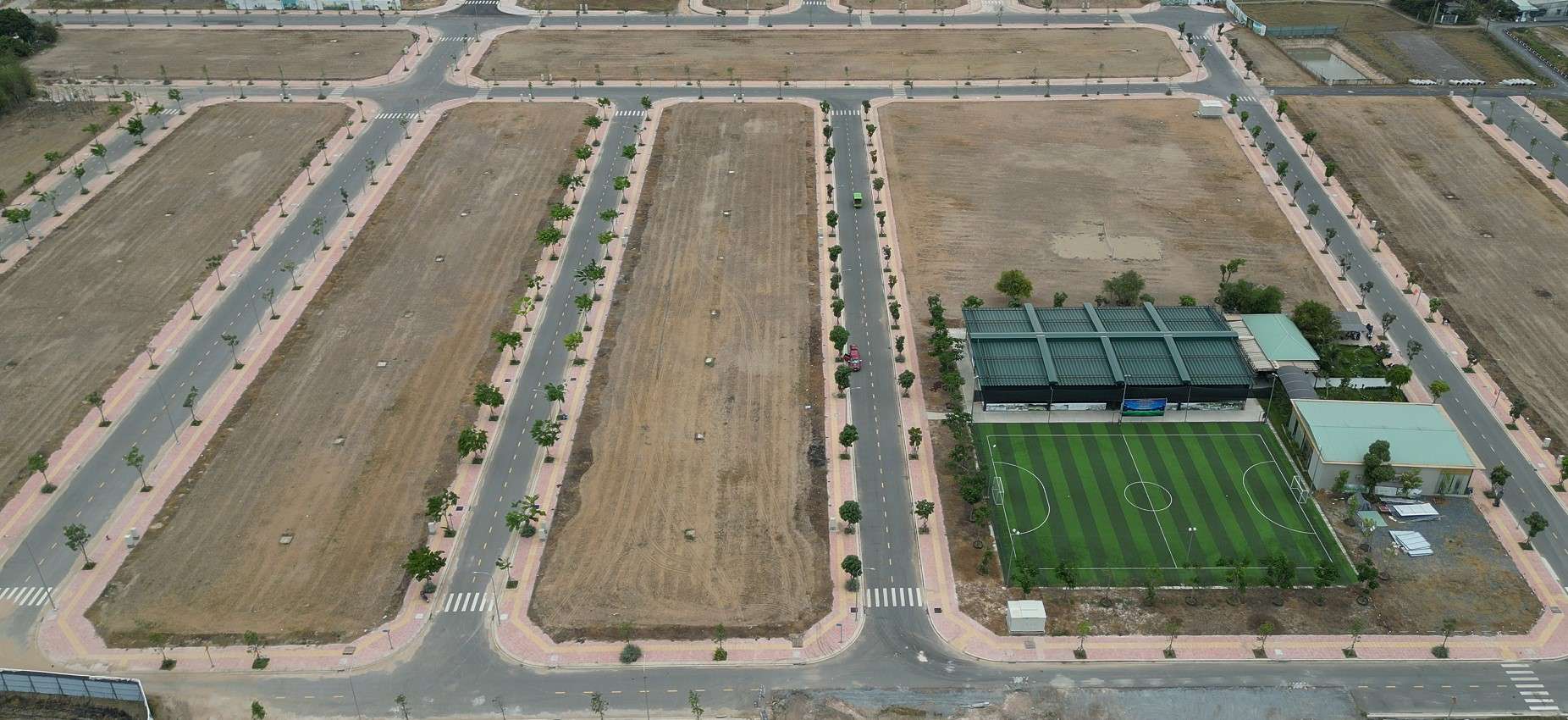
Each plot of land will be assigned a unique 12-digit identification code - Photo: MAI VINH
From September 1st, Decree 326/2026/ND-CP, which regulates the identification of locations, comes into effect, stipulating the assignment of identification codes to 74 locations, including land parcels.
Each plot of land is assigned an identification code according to a set schedule.
According to Decree 326, each location, including land parcels, is assigned only one unique identification code, following a unified structure nationwide. Similar to the personal identification code of citizens, the location identification code is also a 12-digit natural number sequence established by the Location Identification Database.
However, not all land parcels will be simultaneously assigned identification codes starting from September 1st. Instead, from the effective date of Decree 326, the agencies assigned the authority and functions must implement the assignment of identification codes to land parcels according to a schedule.
The decree specifies that ministries and ministerial-level agencies shall review, collect, and create data on objects requiring location identification, and synchronize this data with the Location Identification Database to issue codes.
Accordingly, for land parcels that already have complete minimum information, ministries and ministerial-level agencies shall synchronize the local identification database to ensure implementation when the decree comes into effect. In cases where information is insufficient, relevant agencies must develop a roadmap for collecting, creating, supplementing, and synchronizing data.
The minimum information required includes: the identifying entity; the address of the location; coordinate information; and the agency responsible for managing the location data.
Thus, the synchronization and code assignment process is also linked to the completeness of the data for each land parcel.
The 12-digit identification code is used to look up land plot information on VNeID.
The identification code is a 12-digit natural number sequence established separately for each land parcel by the Location Identification Database, ensuring stability, scalability, and the ability to link, integrate, connect, share, and exploit information within the national database and specialized databases.
The database for identifying land parcels contains 16 related information fields. Citizens can only search and access publicly available data related to land parcel identification on VNeID. Non-public data cannot be searched or accessed.
Organizations and individuals can access their information in the Location Identification Database through VNeID. The access and sharing of non-public data must comply with the law on personal data protection and the protection of state secrets.
For land parcels whose records are already included in the Location Identification Database , no further documentation will be required when carrying out related administrative procedures.
According to Decree 326, there are 74 entities that will have to undergo location identification, encompassing various groups, specifically: land plots; security facilities; government office buildings; national satellite positioning stations; other structures; cave entrances; and transportation infrastructure (including 25 identified locations).
Dike works (8); other technical infrastructure (7); waste treatment works (6); religious and belief works (4); border and boundary (4); cultural works (3); agricultural and forestry production facilities (3); water sources (3); still water surface (2); administrative boundary markers (2); other special objects arising.
Public and non-public data related to the land parcel.
Public data includes: location identifier, object type, address, access route, postal code, coordinates, operational or usage status, location name, identifying features, and address information of location components.
Non-public data includes: information on land use right certificates; information on structure; information on 3D spatial location; information on the agency, organization, or individual owning or using the property; and other information of the location identifier that is connected and shared from national databases and specialized databases.
Related News
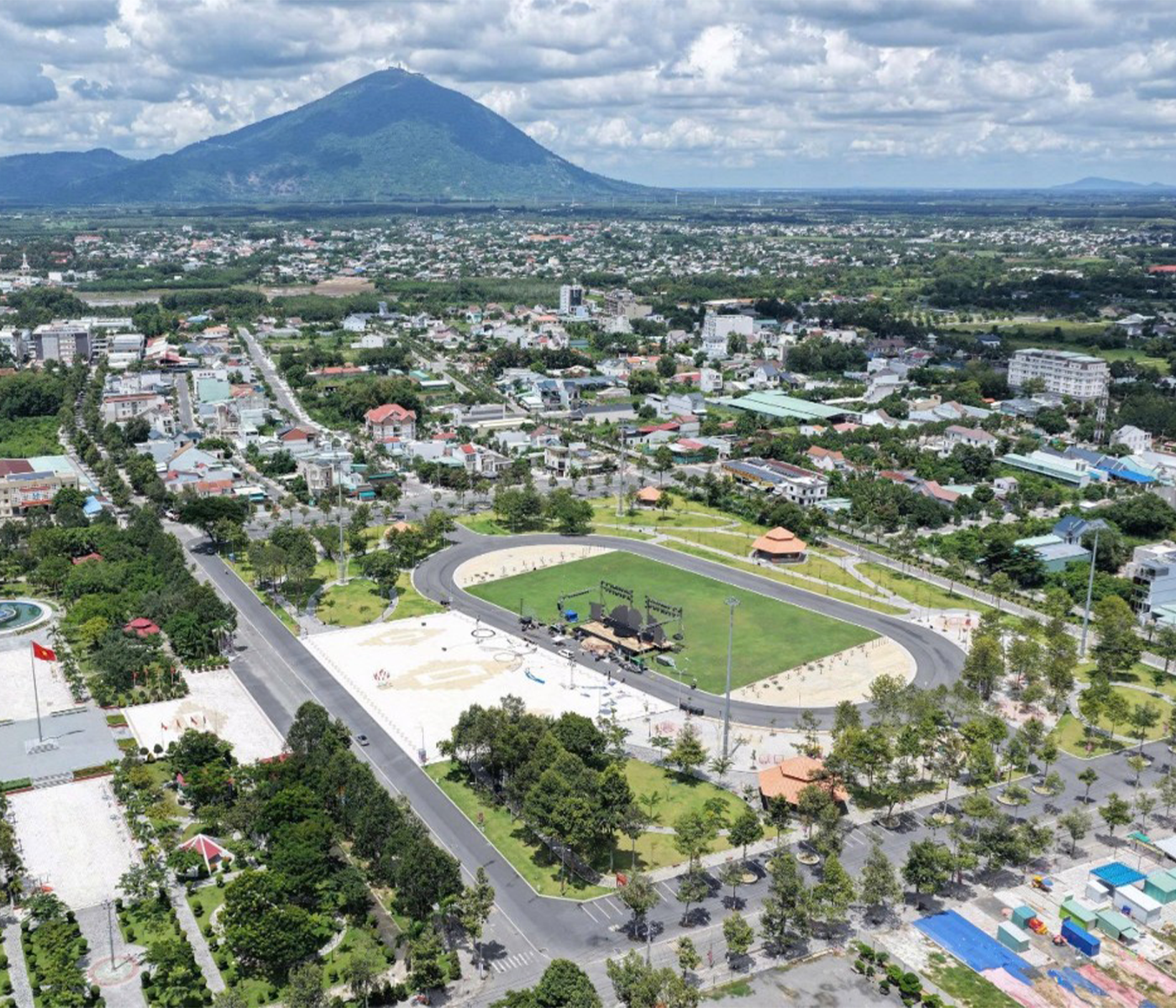
Tay Ninh expands its industrial zone, welcoming new investment flows.
Tay Ninh's industrial space is expanding along with its border gate system, logistics infrastructure, and inter-regional transportation corridors. A series of new industrial parks and clusters are being prepared for investment, creating more land for the locality to accommodate production projects in the new phase...
View Details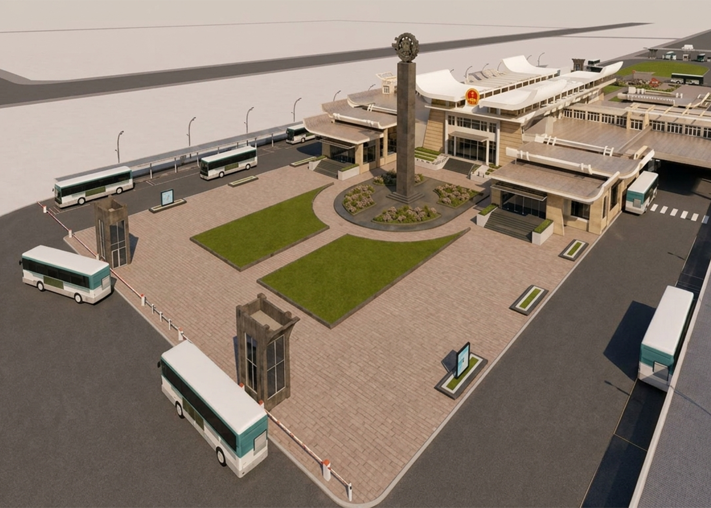
Tay Ninh establishes a digital border gate at Moc Bai, investing nearly 962.4 billion VND in comprehensive development.
The Moc Bai infrastructure development project until 2030 is oriented towards comprehensively reorganizing the border gate space, directly connecting it to the Ho Chi Minh City – Moc Bai expressway, separating passenger and cargo flows, and creating a foundation for the deployment of digital and smart border gates. The total investment is expected to remain at nearly 962.4 billion VND.
View Details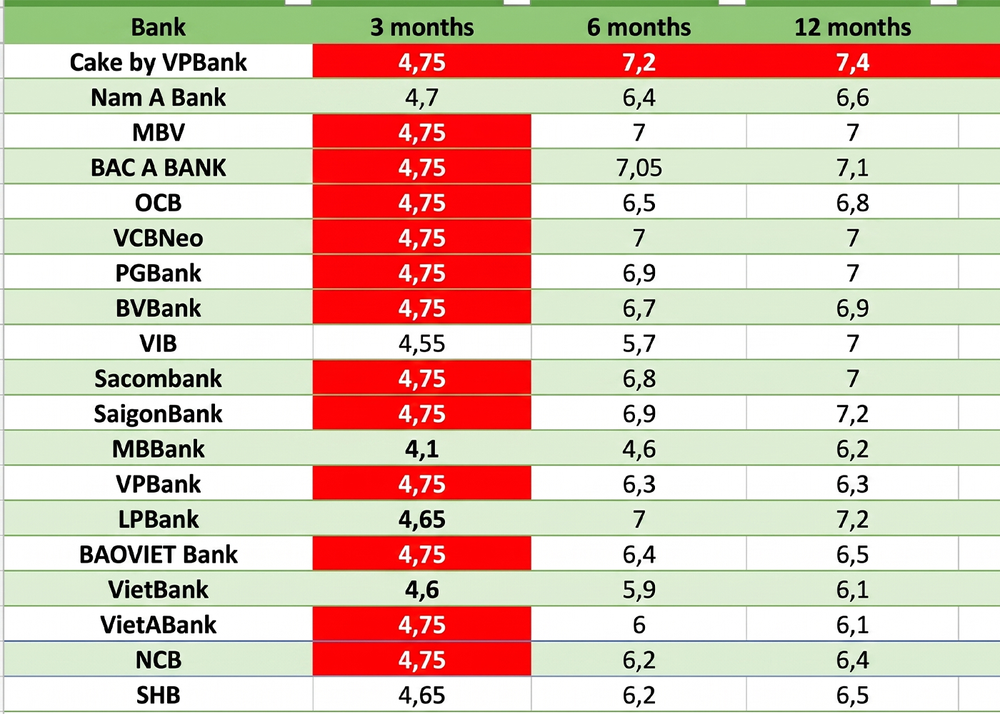
Bank interest rates today, August 18th: A series of banks adjust interest rates.
Bank interest rates today, August 18th: A series of banks adjust deposit interest rates downwards. A summary of the latest savings interest rates from over 30 banks.
View Details
Following directives from the State Bank of Vietnam, Agribank, Vietcombank, Vietinbank, SACOMBANK, and others have simultaneously reduced interest rates.
Previously, the State Bank of Vietnam issued Document No. 7125/NHNN-TD on the implementation of a credit program targeting economic growth drivers and small and medium-sized enterprises.
View Details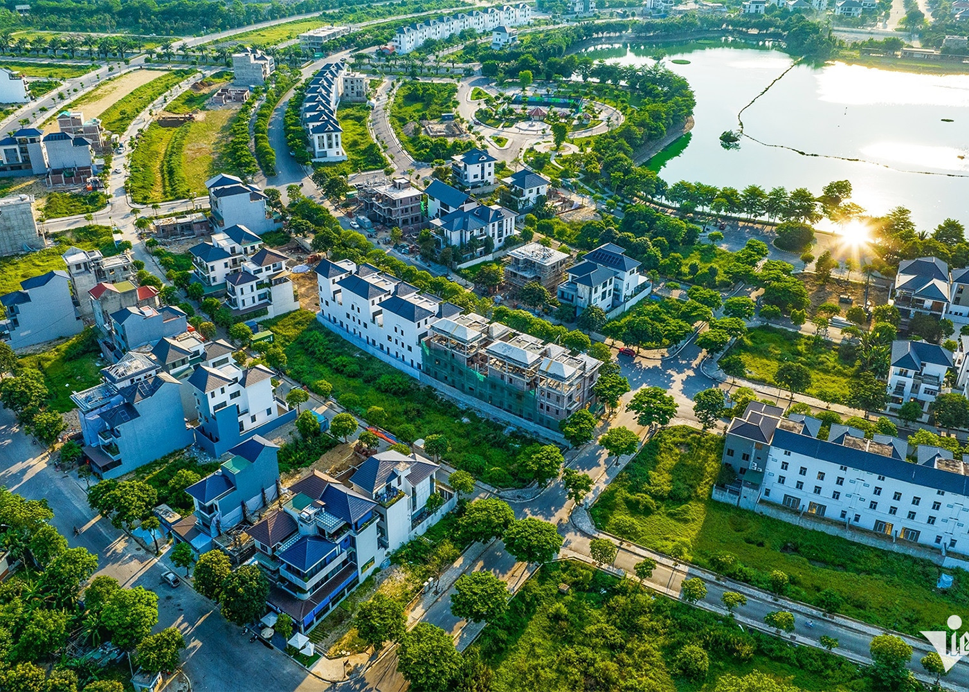
From Resolution No. 18 to Resolution No. 21: A Shift in Land Governance Thinking
Within just four years, the Party Central Committee issued two landmark resolutions on land: Resolution No. 18 in 2022 and Resolution No. 21 in 2026. Such a move is rare for a foundational policy area like land, whose far-reaching impact extends across the entire economy.
View Details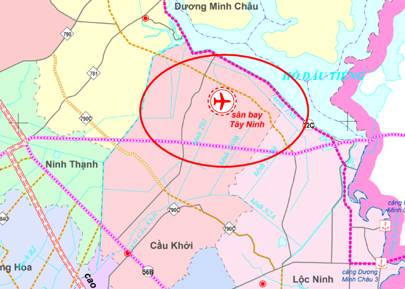
Southeast Vietnam Infrastructure in July: From the potential Tay Ninh airport to Ho Chi Minh City's 100-year transportation plan.
In July 2026, the infrastructure of the Southeast region continued to witness significant developments, from the metro line connecting the old Binh Duong province with the center of Ho Chi Minh City, the metro extension to Long Thanh Airport, the Cat Lai Bridge, the Long Hung Bridge, to new road axes in Tay Ninh. These projects are gradually expanding the development space for urban areas, industry, logistics, and real estate along the routes.
View Details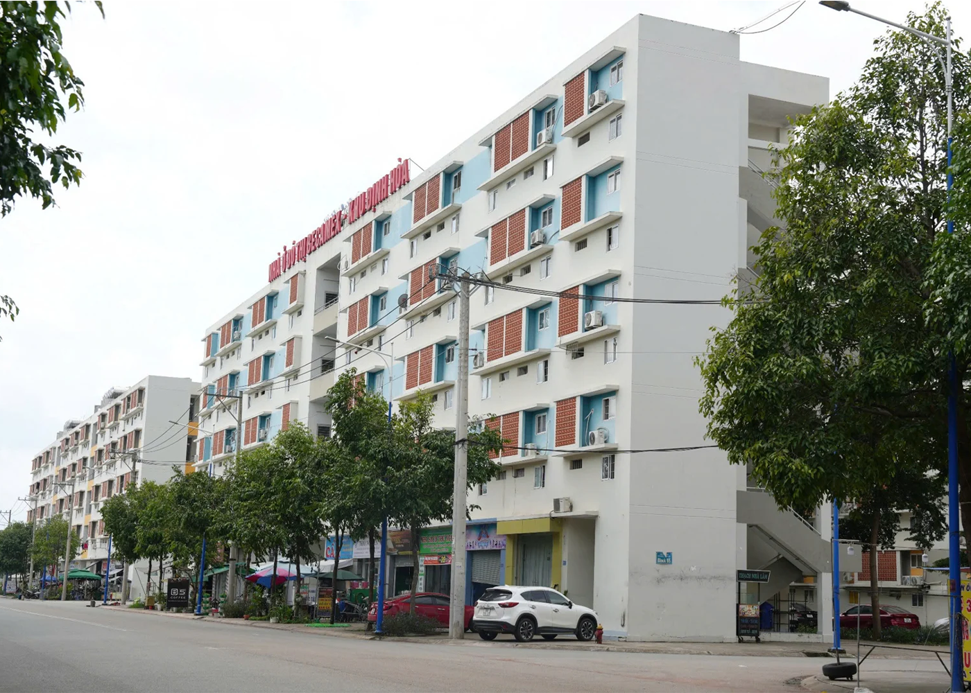
Easing conditions for purchasing social housing in Ho Chi Minh City: The market awaits a boost from supply.
The proposal to raise the income threshold for purchasing social housing in Ho Chi Minh City to a maximum of 60 million VND per month is expected to help many young families and middle-income workers access affordable housing. However, as the number of eligible people increases while supply remains limited, experts believe the market will need stronger measures to avoid a situation where "too many people are queuing, too few houses to buy."
View Details
5 things social housing buyers need to know before borrowing from the Social Policy Bank.
Buyers of social housing can access preferential loans from the Social Policy Bank (NHCSXH) with significantly lower interest rates compared to commercial loans. However, to be disbursed, borrowers need to meet eligibility criteria, demonstrate repayment capacity, and prepare a suitable financial plan.
View Details
Social housing will 'stimulate' the real estate market.
High interest rates and low liquidity have resulted in a rather sluggish real estate market since the beginning of the year. Meanwhile, social housing, a segment with very high demand, is expected to stimulate the real estate market to become more vibrant again in the near future.
View Details
High interest rates and restructuring in the real estate market.
(VNF) - Floating mortgage interest rates, remaining at 11%-14% per year, and even reaching 15%-16% for some loans, are causing the real estate market to enter a strong consolidation phase. As capital costs erode profits and debt repayment pressure increases, investment capital is also beginning to shift to safer segments with the potential to generate good cash flow.
View Details
Interest rate is only 5.4%/year: Who is eligible to borrow to buy social housing at the Social Policy Bank?
The Vietnam Social Policy Bank (VSPB) is implementing a preferential loan program for those buying or renting social housing, as well as for some cases of new construction, renovation, or repair of housing. According to current regulations, the loan interest rate is 5.4% per year, with a maximum loan term of 25 years.
View Details
High Interest Rates Reshape the Real Estate Market, Shifting Focus to Selective Investment
Mortgage lending rates remained at 12–14% during the first half of 2026, placing significant pressure on liquidity in the real estate market.
View Details
Interest rates exceed 9% again: What will the real estate market be like at the end of the year?
(Inspection) - Deposit interest rates are heating up again, with some banks offering rates exceeding 9% per year. This development is expected to put further pressure on the real estate market in the second half of 2026, as capital costs increase, mortgage interest rates remain high, and liquidity continues to face many challenges.
View Details
The income ceiling for purchasing social housing will officially be raised to 25 million VND/month from April 7, 2026.
(Chinhphu.vn) - In Decree No. 136/2026/ND-CP, the Government stipulates raising the income ceiling for individuals purchasing social housing to 25 million VND/month.
View Details
From July 1st, 2026, what will be the interest rate for loans to purchase social housing for people under 35 years old?
Given the high interest rates on commercial home loans, the preferential credit policy effective from July 1, 2026, is expected to help young people reduce financial pressure and increase their access to social housing. So, from July 1, 2026, what will be the interest rate for loans to purchase social housing for those under 35 years old?
View Details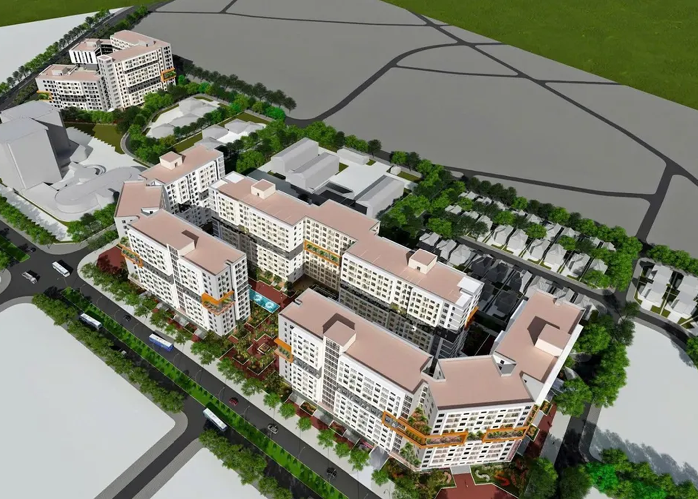
Officially adding a priority group for purchasing social housing.
From July 1, 2026, people with two or more children will be prioritized to buy, lease-to-own, or rent social housing according to the new regulations.
View Details
From July 1st, customers under 35 years old at Vietcombank, Agribank, BIDV, VietinBank, MB, etc., will all receive good news.
From July 1st to December 31st, 2026, people under 35 years old who borrow to buy social housing will enjoy preferential interest rates.
View Details
Announcement of the revised Tay Ninh 2030 planning: New administrative center in Duc Hoa - Hau Nghia.
According to the plan, the Tay Ninh Provincial Political and Administrative Center will be located in the northern area of Duc Hoa - Hau Nghia urban area. The specific construction location will be studied and proposed based on ensuring requirements for spatial development, connectivity, and synchronization of technical infrastructure and transportation systems of the province and the Southeast region.
View Details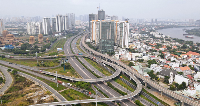
5 satellite cities help alleviate congestion in Ho Chi Minh City center.
Ho Chi Minh City - Thu Duc City is a highly interactive and innovative urban area in the East; Can Gio is a coastal ecological urban area; the southern urban area has Phu My Hung as its center; the southwestern urban area (Binh Chanh) is a gateway to the Mekong Delta; and the northwestern urban area is a gateway connecting to Binh Duong, Tay Ninh, and Cambodia.
View Details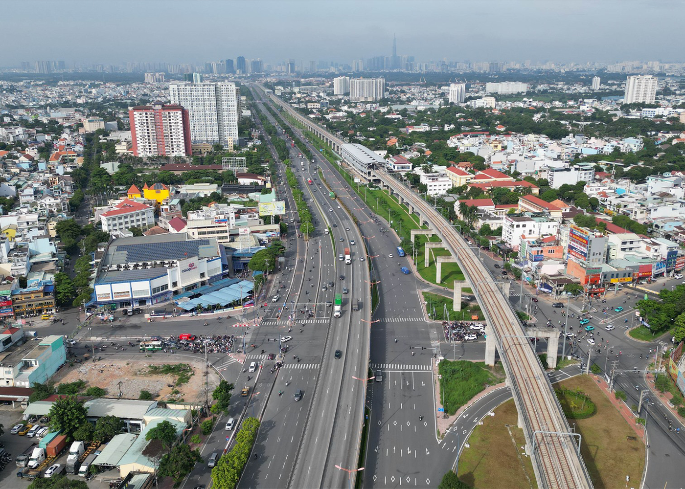
The important role of 5 satellite cities for Ho Chi Minh City.
Ho Chi Minh City will develop five satellite cities to alleviate population density and address a range of related issues such as traffic, pollution, and quality of life.
View Details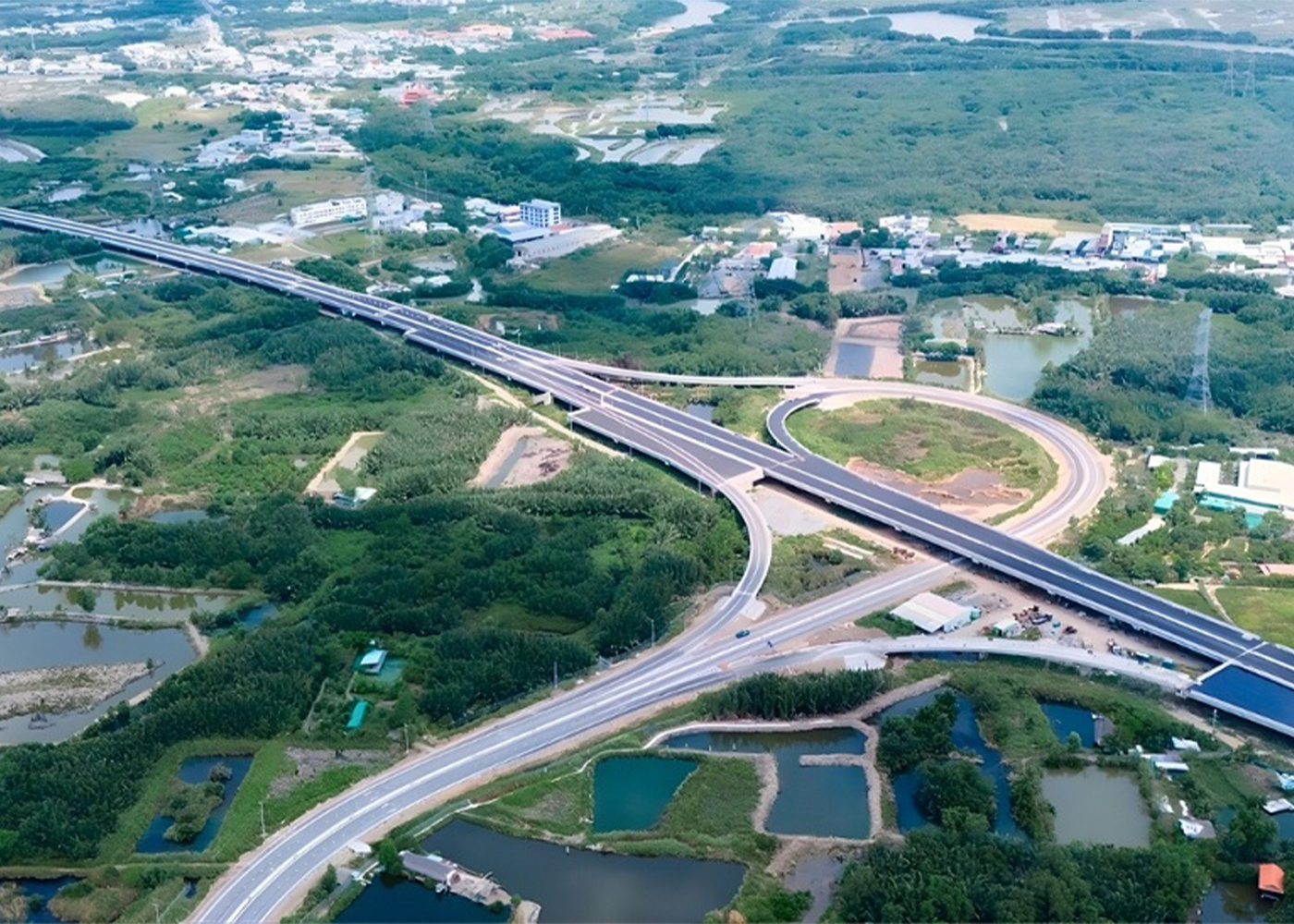
Ho Chi Minh City develops satellite cities.
The satellite cities in Ho Chi Minh City that will be formed after 2030 will not follow the mechanical process of upgrading districts to cities, but rather will be independent urban clusters connected via urban rail.
View Details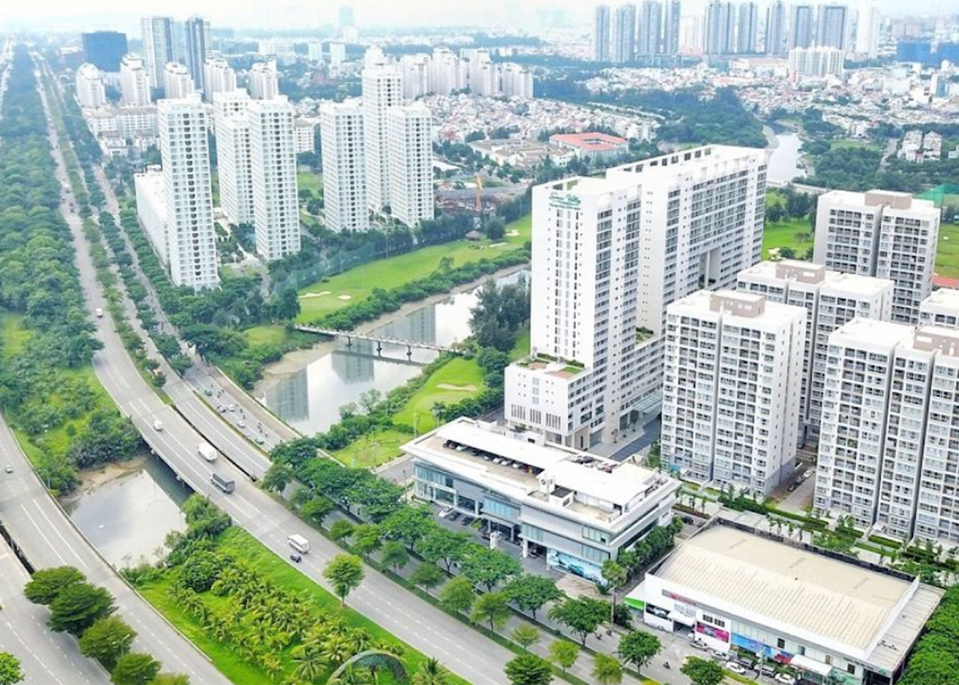
Chairman of Ho Chi Minh City: Develop 5 satellite cities based on the TOD model.
Besides Thu Duc City, Ho Chi Minh City is also developing four other satellite cities associated with the Transport-Oriented Development (TOD) model, including Can Gio, the South, Southwest, and Northwest areas.
View Details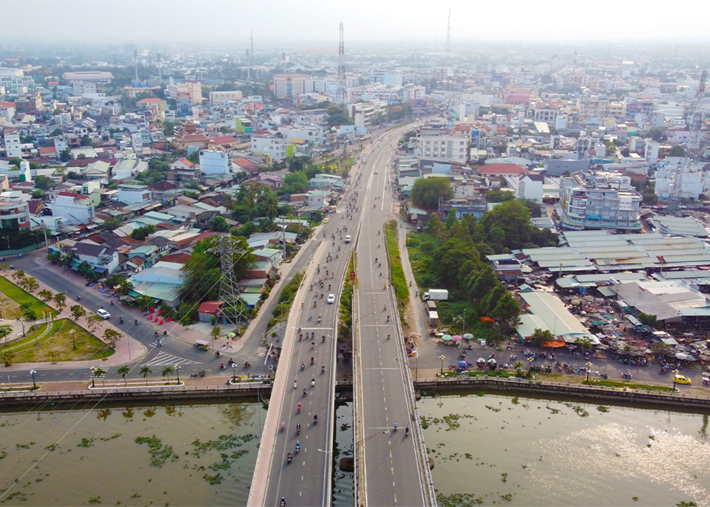
Real Estate Outlook 2026: From Global Trends to Growth Drivers in Vietnam
Entering 2026, the global real estate market is showing positive signs again, amidst a gradually stabilizing economy with new drivers, especially technology and artificial intelligence (AI).
View Details
The legal framework expands opportunities for overseas Vietnamese to invest in real estate in Vietnam.
According to data from the State Bank of Vietnam – Regional Branch 2, in the first nine months of 2025, Ho Chi Minh City recorded approximately US$7.94 billion in remittances, accounting for nearly 60% of the total remittances nationwide. The main sources of remittances were Asia (50%) and the Americas (30%).
View Details
Fluctuations in capital costs and the adaptation challenge for homebuyers.
The upward adjustment in mortgage interest rates is making many buyers and investors more cautious in making financial decisions. According to experts, this is not a negative signal for the real estate market, but rather a factor that promotes a more sustainable adjustment process.
View Details
With abundant supply, the real estate market reflects a trend of diversified capital flows.
The widespread increase in supply, with a growing diversity of product types and price ranges, gives buyers more choices, while also making the trend towards selectivity more pronounced.
View Details
Understanding the property identification code applicable from March 1st.
From March 1st, 2026, electronic property identification codes will be issued to each property. So what do people need to know about the property identification codes that will be applied from March 1st?
View Details
Tay Ninh will relocate its new administrative and political center to Duc Hoa - Hau Nghia.
The Chairman of the People's Committee of Tay Ninh province, Le Van Han, has just signed and issued the revised Provincial Planning for the period 2021–2030, with a vision to 2050, aiming to shape a new development space and take advantage of its location bordering Ho Chi Minh City, Dong Nai, Dong Thap, and Cambodia.
View Details
Determined to increase market transparency and "close the gaps" in real estate transactions.
Recently, Prime Minister Pham Minh Chinh directed the urgent pilot operation of a cryptocurrency exchange platform, and simultaneously established a State-managed Real Estate and Land Use Rights Transaction Center, with the goal of implementation in February 2026. This is a strong move, clearly demonstrating the Government's determination to restructure and increase transparency in the real estate market…
View Details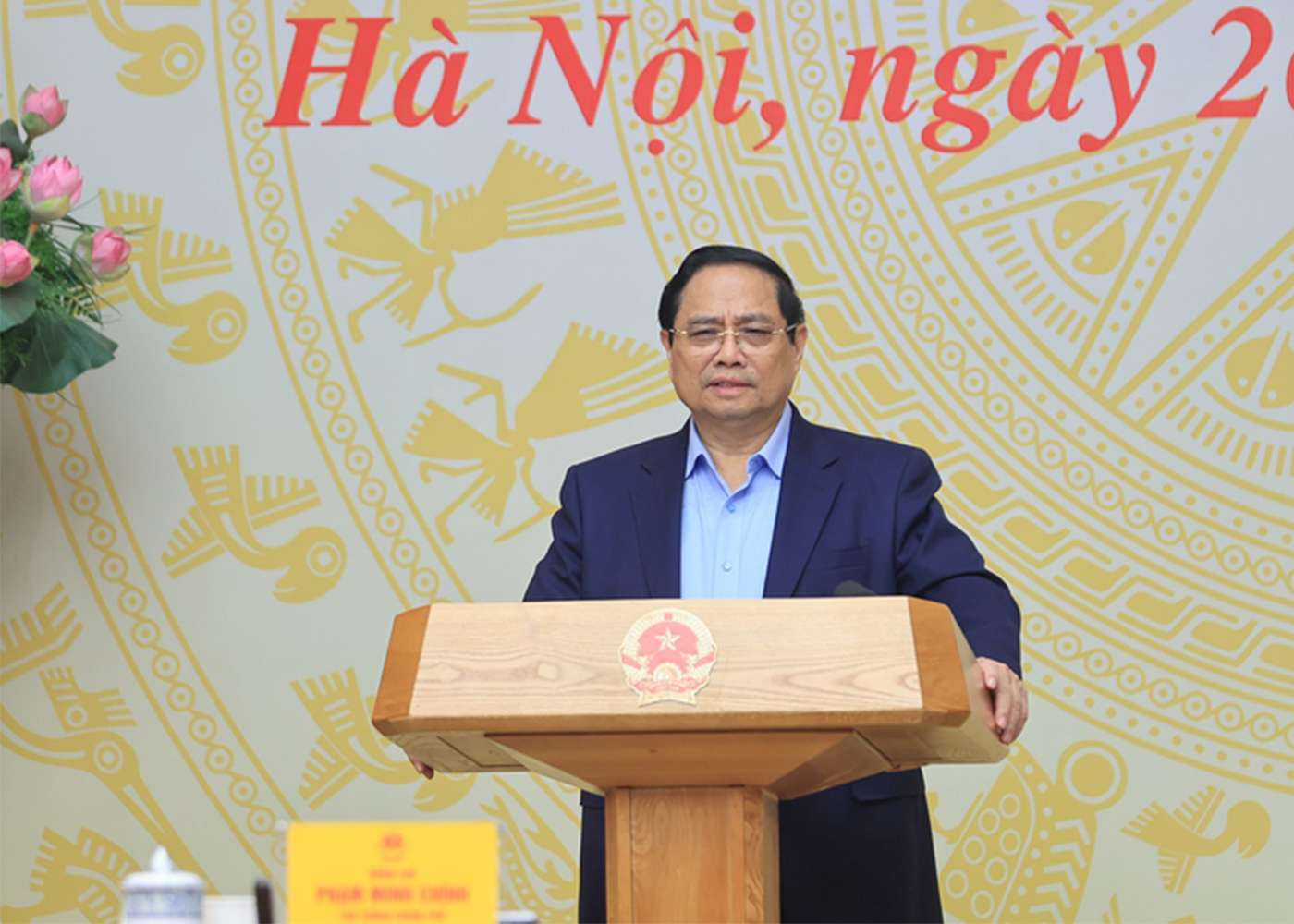
Expedite the finalization of documents for establishing a Real Estate and Land Use Rights Transaction Center; strictly control speculative real estate credit.
(Chinhphu.vn) - Prime Minister Pham Minh Chinh directed the urgent completion of the dossier for the establishment of a Real Estate and Land Use Rights Transaction Center; and requested strict control over speculative real estate credit, focusing on the actual housing needs of the people.
View Details
What Does the World Say About Vietnam's Real Estate Market?
In the context of Vietnam's real estate market moving beyond a period of profound adjustment and facing the imperative for comprehensive restructuring, the narrative of sustainable development is no longer merely a guiding slogan but has become a practical challenge of existential importance.
View Details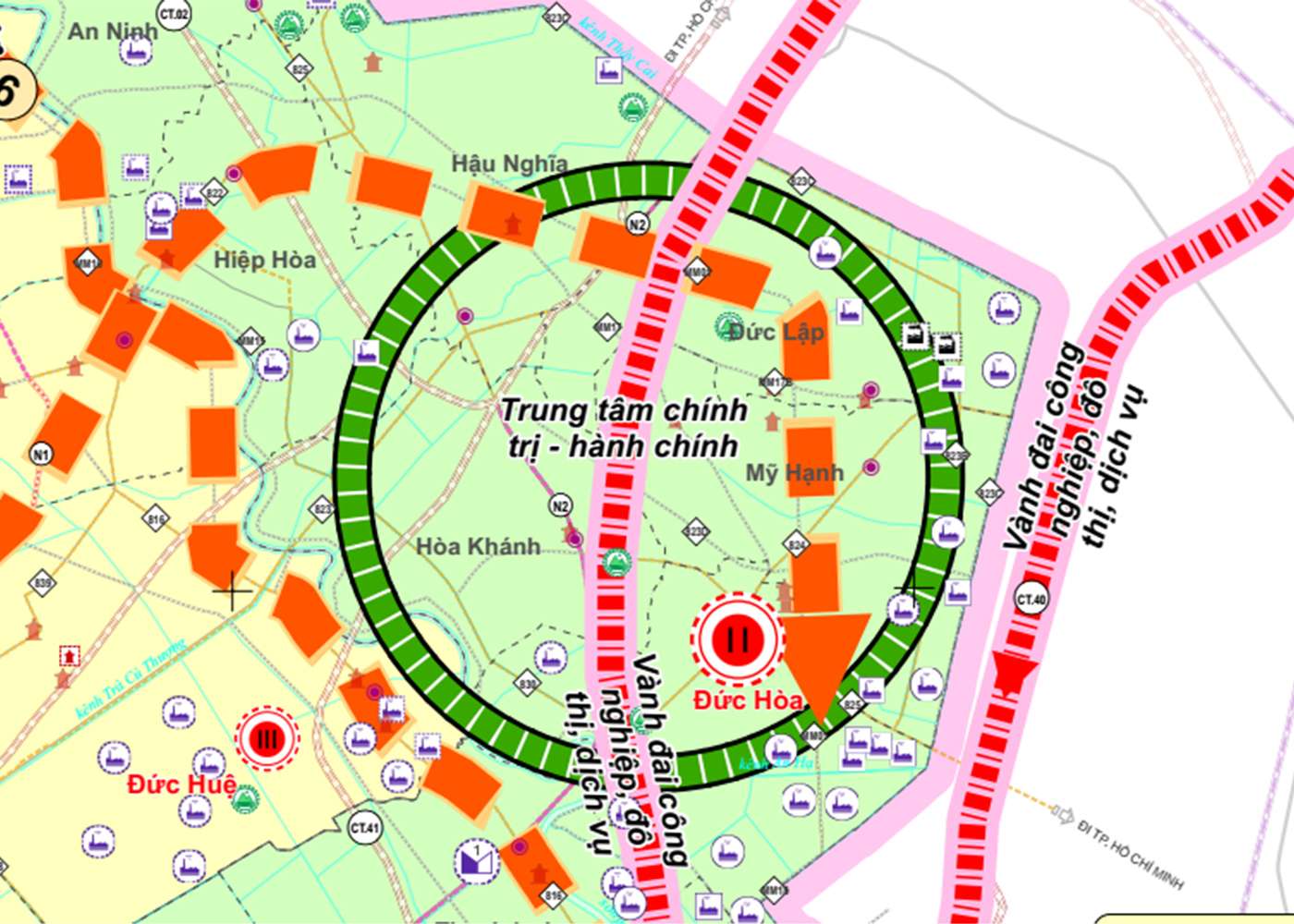
Tay Ninh Master Plan 2030: Duc Hoa – Hau Nghia OFFICIALLY Approved as Provincial Political and Administrative Center
At the 9th Session (specialized session) of the 10th Legislature, the People's Council of Tay Ninh Province officially adopted a Resolution on Adjusting the Tay Ninh Provincial Master Plan for the period 2021-2030, with a vision to 2050. The most significant highlight of this revised master plan is the designation of the Duc Hoa – Hau Nghia urban cluster as the new political and administrative center of the province, marking a strong transformation in the organization of development space following provincial consolidation.
View Details
Sharp increases in land plot prices are observed, and the market is projected to witness an explosion of supply in 2026.
Land plot prices are set to keep increasing through 2025, as demand clearly improves and new supply is anticipated to make a strong comeback in 2026.
View Details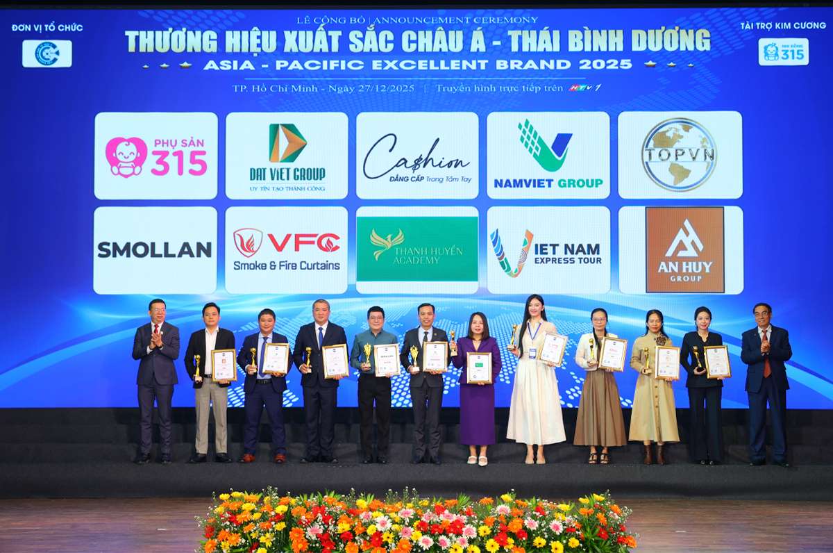
Legal Transparency Becomes An Huy Group's Competitive Advantage
Recently, An Huy Group distinguished itself by successfully meeting the stringent selection criteria to receive the "Top 10 Distinguished Legally Transparent Real Estate Enterprises" award.
View Details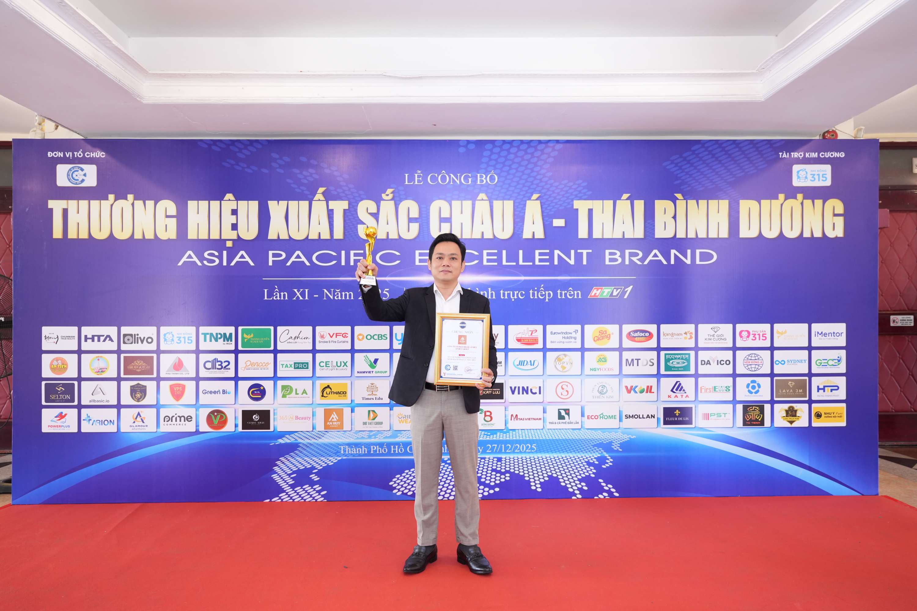
An Huy Group was honored as one of the “Top 10 Real Estate Enterprises with Outstanding Legal Transparency.”
Recently, at the announcement ceremony of the “Asia-Pacific Excellent Brand 2025”, Cong ty Dia oc An Huy (An Huy Group) successfully surpassed stringent evaluation criteria to receive the award “Top 10 Real Estate Enterprises with Outstanding Legal Transparency.”
View Details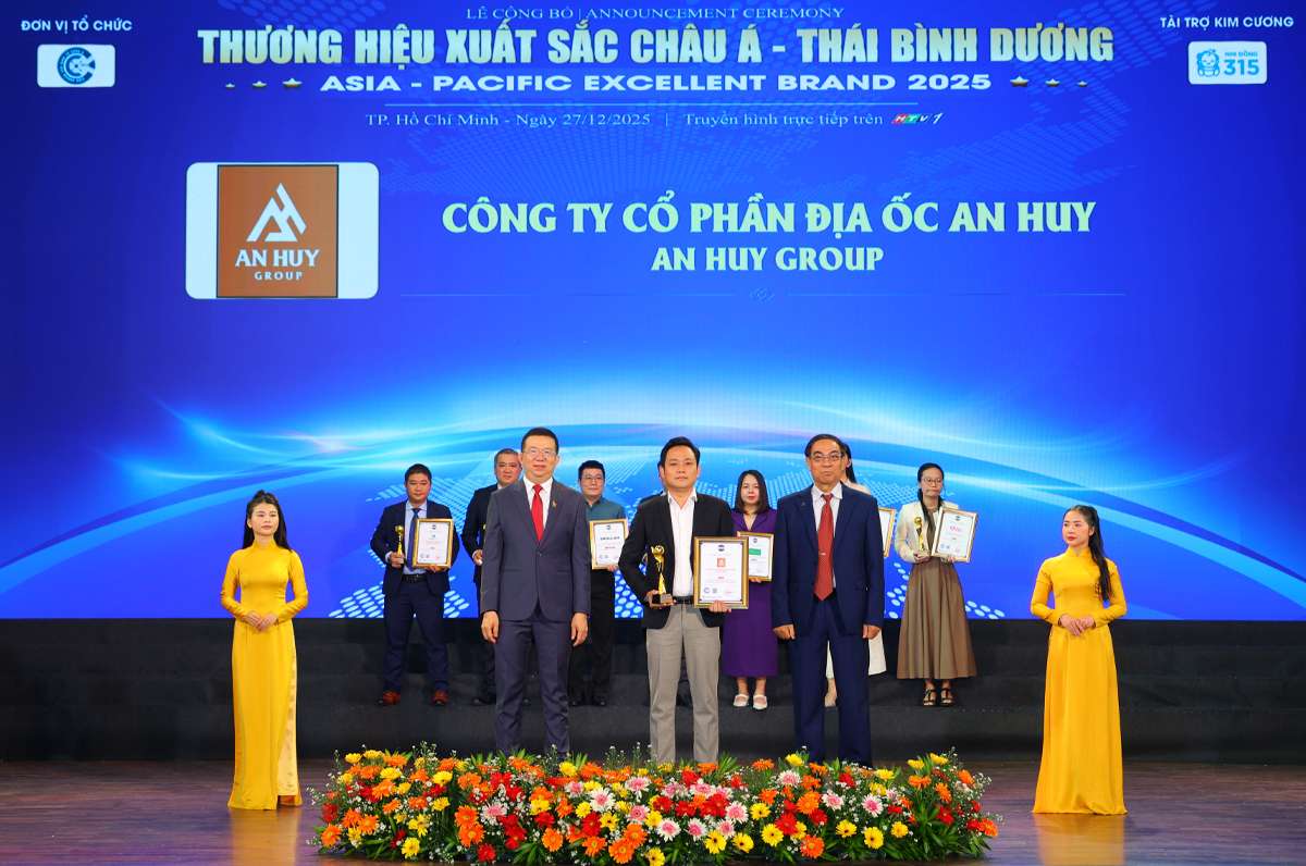
An Huy Group was honored as one of the “Top 10 Real Estate Enterprises with Outstanding Legal Transparency.”
Recently, at the announcement ceremony of the “Asia-Pacific Outstanding Brand 2025”, Cong ty Dia oc An Huy (An Huy Group) successfully met and surpassed stringent evaluation criteria to receive the award “Top 10 Real Estate Enterprises with Outstanding Legal Transparency.”
View Details
Announcement of Report: Real Estate in Tay Ninh Province After the Merger – Synergistic Strengths and Breakthrough Opportunities
On November 6, 2025, the Vietnam Real Estate Research Institute (VIRES) officially released the market report: "Real Estate in Tay Ninh Province After the Merger – Synergistic Strengths and Breakthrough Opportunities."
View Details
Pickleball Cup An Huy 2025 – 1st Edition: Spreading the Spirit of Sports, Connection, and Sharing
At noon on November 8, 2025, the atmosphere at the four Pickleball courts in An Huy My Viet Urban Area (Rung Sen Hamlet, Duc Lap Commune, Tay Ninh Province – formerly part of Duc Hoa District, Long An Province) became lively and exciting as the 1st An Huy Pickleball Cup – 2025 officially kicked off.
View Details
Upcoming Market Report Release: "Tay Ninh Province Real Estate After the Merger – Synergistic Strength and Breakthrough Opportunities"
Scheduled for November 6, 2025, the Vietnam Real Estate Research Institute, in collaboration with Vietnam Real Estate Online Magazine, will release the Market Report: "Tay Ninh Province Real Estate After the Merger – Synergistic Strength and Breakthrough Opportunities."
View Details
The Steadfast Advancement of An Huy Group with the Honor of “Asia’s Leading Trusted Brand 2025”
The title “Asia’s Leading Trusted Brand 2025,” recently awarded to An Huy Group, marks a proud milestone that recognizes the company’s more than two decades of steadfast effort in affirming the stature of a Vietnamese brand.
View Details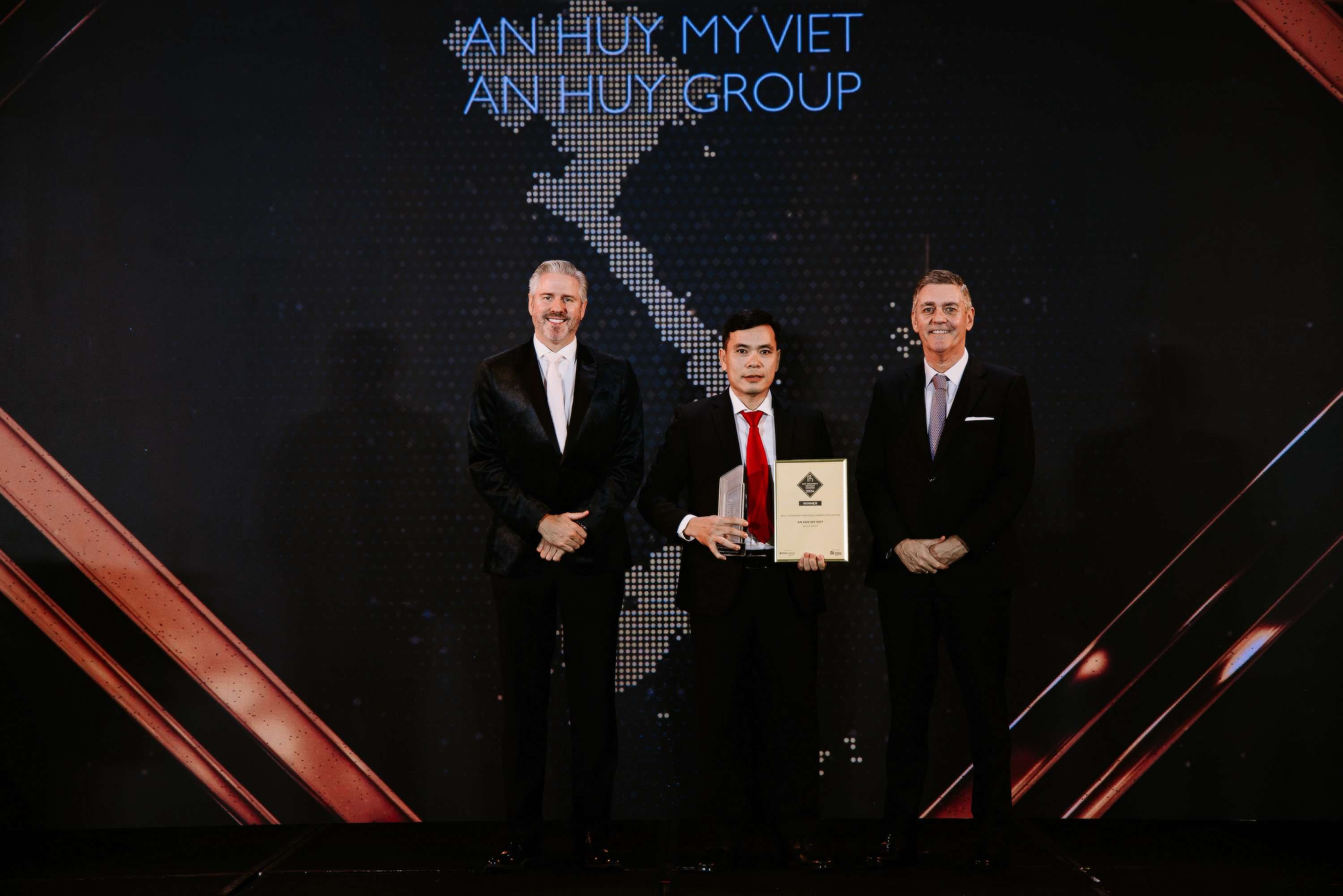
The An Huy My Viet Project wins the Best Township Heritage Landscape Design Vietnam 2024 award.
At the DOT Property Vietnam Awards 2024 ceremony held on September 26, 2024, the An Huy My Viet Project, developed by An Huy Group, excelled in winning the “Best Township Heritage Landscape Design Vietnam 2024” award.
View Details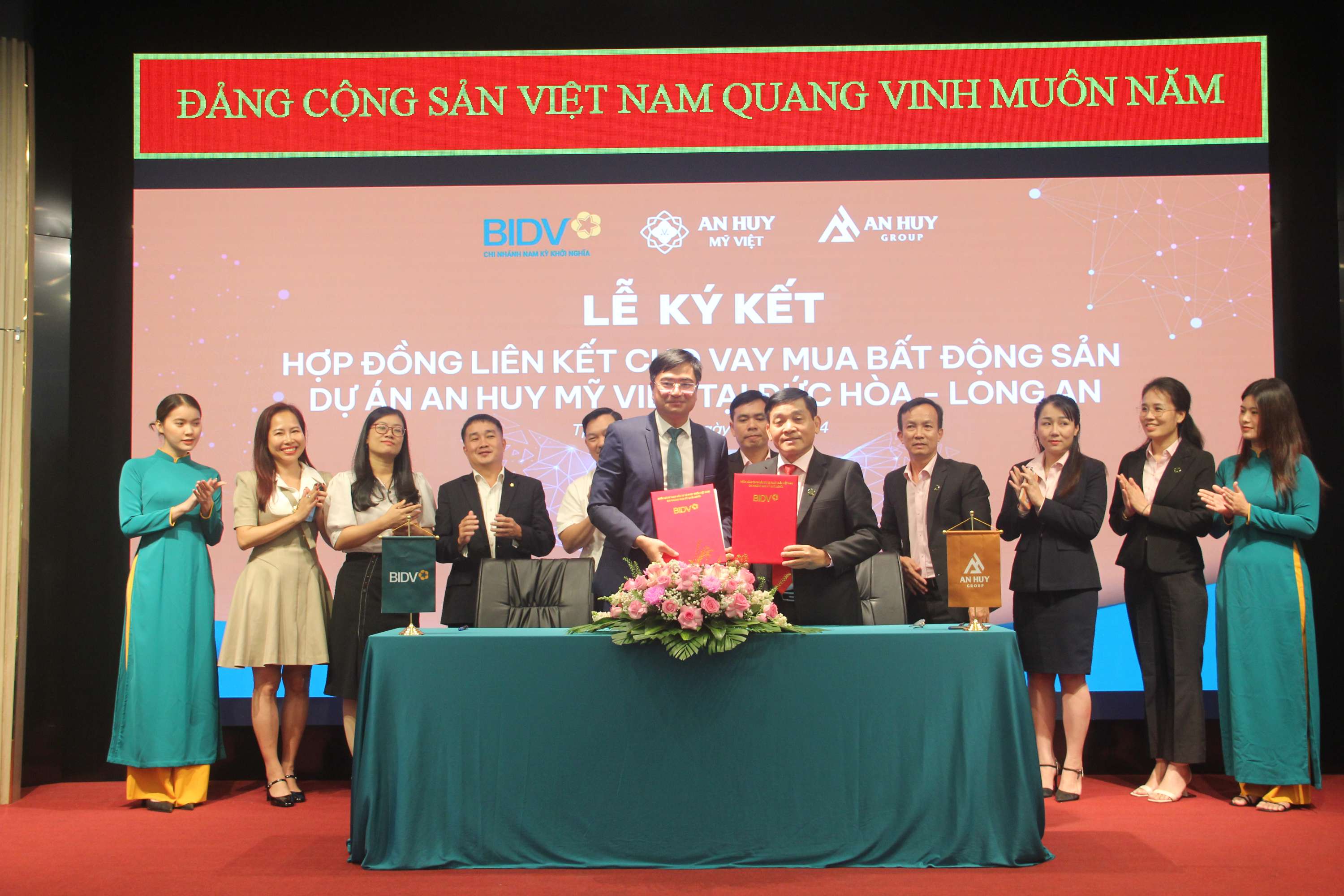
BIDV Bank and An Huy Group Sign Credit Financing Partnership Agreement
On September 6, 2024, the Bank for Investment and Development of Vietnam (BIDV) and An Huy Real Estate Joint Stock Company (An Huy Group) held a signing ceremony to establish a partnership supporting customers in obtaining financing when purchasing real estate products at the An Huy My Viet Urban Area.
View Details
Notice: Warning Against Fraudulent Use of the An Huy Group and An Huy My Viet Brands
Currently, An Huy Group is developing the An Huy My Viet Urban Area in My Hanh Bac Commune, Duc Hoa District, Long An Province. The An Huy My Viet Project has officially commenced construction and is being implemented in strict compliance with current real estate investment laws and regulations.
View Details